How Does a GPS Device Know the Pin Location?
A GPS device knows your pin location by using a network of satellites orbiting Earth. These satellites constantly broadcast signals. Your device picks up these signals and calculates your exact position using trilateration. It’s pretty clever how it figures out where you are.
This whole system relies on precise timing and distance measurements. Your GPS receiver compares the signals it gets from at least four different satellites. This allows it to pinpoint your spot on the globe with amazing accuracy. It’s like a cosmic game of cosmic hide-and-seek.
- GPS uses satellites to find your location.
- Satellites send signals your device reads.
- Your device calculates distance to multiple satellites.
- This “trilateration” reveals your exact spot.
- It’s a system built on precise timing.
Let’s walk through exactly how your GPS device becomes your personal navigator, step by step.
Understanding How Your GPS Pinpoints Your Location
Your GPS device seems like magic, but it’s built on solid science. It uses a network of orbiting satellites to figure out exactly where you are on Earth. This technology has become a daily tool for many of us.
The Foundation: A Constellation of Satellites
The whole system, known as the Global Positioning System (GPS), relies on a group of satellites. These aren’t just any satellites; they’re specially designed. They constantly orbit our planet in very precise paths. There are usually more than 30 active satellites in this system, managed by the U.S. government.
These satellites are like tiny, super-accurate clocks and transmitters. They are always sending signals down towards Earth. These signals contain vital information about the satellite itself. This includes its exact location in space and the precise time the signal was sent.
Why So Many Satellites?
You might wonder why we need so many satellites. The more satellites your GPS receiver can “see” or pick up signals from, the more accurate your location will be. This is because your device needs signals from at least four different satellites to work properly.
Think of it like trying to find a friend in a large, open field. If you can only see them from one direction, you don’t know if they are far left or far right. But if you can see them from two or three different spots, you can narrow down their position much better. The more reference points, the more precise your estimate becomes.
The Signal’s Journey: From Space to Your Handheld Device
When you turn on your GPS device, whether it’s in your car, on your phone, or a dedicated handheld unit, it starts listening. It’s trying to pick up those signals from the satellites overhead. This process is often called “acquiring satellites.”
Your device has a special antenna and receiver designed for this. It’s constantly scanning for the unique signals broadcast by each satellite. Once it finds a signal, it records the time it was received. It also notes the time the satellite said the signal was sent. This difference in time is key.
The Importance of Precise Timing
The satellites are equipped with atomic clocks, which are incredibly accurate. They tick at a rate that drifts by only about a second over millions of years. This precision is **essential** for GPS to work. The time stamps on the satellite signals are perfect.
Your GPS device’s clock is not nearly as accurate. It’s a regular quartz clock. However, by comparing the satellite’s super-accurate time with its own less-accurate time, your device can calculate how long the signal took to travel. This time difference is directly related to distance.
Calculating Distance: The First Step to Pinpointing
Light, and therefore radio signals from satellites, travels at a constant speed – the speed of light. Scientists know this speed very well. It’s approximately 186,282 miles per second (or about 299,792 kilometers per second).
If your device knows how long a signal took to arrive, and it knows the speed of light, it can calculate the distance. The formula is simple: Distance = Speed × Time. So, if a signal took one-tenth of a second to reach your device, the satellite is roughly 18,628 miles away.
Distance From One Satellite Isn’t Enough
Now, imagine you know you are 12,000 miles away from Satellite A. Where are you? You could be anywhere on a giant imaginary sphere with a radius of 12,000 miles, centered on Satellite A. This isn’t very helpful, is it?
This is why your device needs signals from more than one satellite. Each additional satellite provides another sphere of possible locations. Your device finds the point where these spheres intersect. This intersection narrows down your location significantly.
Trilateration: The Science of Pinpointing Your Spot
When your device receives signals from three satellites, it can calculate three distances. This means your location is narrowed down to the point where three spheres intersect. However, there’s a catch.
The spheres might intersect in two places. Usually, one of these locations will be very far out in space or deep within the Earth, which doesn’t make sense for a person on the ground. Your device can often figure out which one is the realistic location based on previous data or known geography.
The Crucial Fourth Satellite
To resolve any remaining ambiguity and account for errors, a fourth satellite is absolutely necessary. Why a fourth? Well, your device’s clock isn’t perfectly synchronized with the satellite clocks. This tiny difference in time measurement can cause a significant error in distance calculation.
The signal from the fourth satellite acts as a reference. It helps your device correct for the slight inaccuracies in its own internal clock. By using the data from four satellites, your device can accurately calculate your position in three dimensions (latitude, longitude, and altitude) and synchronize its clock with the GPS system’s precise time. This process is called trilateration.
How Your Device Interprets the Data
Once your GPS device has calculated its position using trilateration, it needs to translate that data into something you can understand. The raw data from the satellites is in a specific format. Your device’s software processes this information.
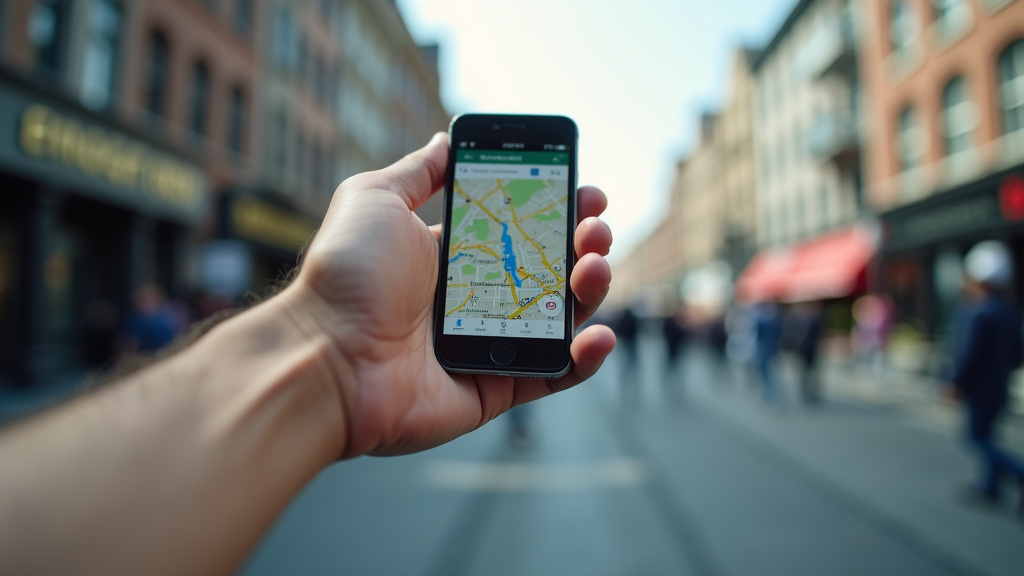
It converts the latitude and longitude coordinates into a map display. This is where you see your little blue dot moving across a familiar street map. The device also uses this data to provide directions, estimate travel times, and show points of interest nearby.
Factors Affecting Accuracy
While GPS is incredibly accurate, it’s not perfect. Several factors can affect how precisely your device knows your location. These include:
- Atmospheric Conditions: The Earth’s atmosphere can slightly delay the satellite signals.
- Signal Obstructions: Tall buildings, dense forests, tunnels, and even heavy cloud cover can block or weaken the signals.
- Satellite Geometry: The relative positions of the satellites in the sky matter. If they are clustered too closely together, accuracy can decrease.
- Receiver Quality: The quality and design of your GPS device’s antenna and receiver play a role.
For example, many guidelines suggest that being in an open area with a clear view of the sky provides the best reception (Federal Communications Commission).
A Quick Checklist for Understanding GPS
Let’s recap the essential steps your GPS device takes:
- Satellite Broadcast: Satellites send precise time and location data.
- Signal Reception: Your device picks up these signals.
- Time Measurement: It notes the signal’s travel time.
- Distance Calculation: It figures out how far it is from each satellite.
- Trilateration: Using at least four satellites, it pinpoints your position.
- Map Display: Your device shows your location on a map.
Beyond Basic Positioning: Enhanced Accuracy
Sometimes, your GPS device might use additional technologies to improve its accuracy. These often work alongside the satellite signals.
Assisted GPS (A-GPS)
Most smartphones use A-GPS. This technology uses cellular network data and Wi-Fi hotspots to help your device get a faster “fix” on its location. It can download satellite orbital data more quickly, meaning you don’t have to wait as long for your GPS to start working, especially after being turned off for a while.
A-GPS is particularly helpful when satellite signals are weak, like when you’re indoors or in a “urban canyon” (areas with many tall buildings). It helps your device get a more reliable reading, faster. Many experts agree that A-GPS significantly speeds up the initial location acquisition process (National Institute of Standards and Technology).
Other Navigation Systems
While “GPS” is a common term, it technically refers to the U.S.-made system. Other countries have their own global navigation satellite systems (GNSS), such as Russia’s GLONASS, Europe’s Galileo, and China’s BeiDou. Many modern GPS devices can actually receive signals from multiple GNSS constellations simultaneously. This increases the number of available satellites, which can further improve accuracy and reliability.
Using multiple systems means your device has more satellites to choose from. If one system has fewer visible satellites or is experiencing interference, your device can still get a strong signal from another. This makes your navigation much more dependable.
Conclusion
Your GPS device is a marvel of engineering, working through a precise system of orbiting satellites. By listening to signals and measuring tiny differences in time, your device calculates the distance to multiple satellites. This process, called trilateration, uses at least four satellites to pinpoint your exact spot on Earth. It’s amazing how these signals translate into the maps and directions you use every day. If you ever find your GPS acting up, remember to check for clear sky views and consider upgrading your device if it’s an older model.
Frequently Asked Questions
Does my phone’s GPS use the same satellites as a dedicated GPS device?
Yes, most smartphones use the same Global Positioning System (GPS) satellites operated by the U.S. government. Your phone’s GPS receiver picks up signals from these satellites, just like a standalone GPS unit does. Often, phones also use Assisted GPS (A-GPS) to get a faster location fix.
Can I use GPS indoors or in tunnels?
Generally, no. GPS signals are radio waves that travel from satellites in space. They can be blocked by solid objects like buildings, mountains, and even dense tree cover. You will typically lose your GPS signal indoors or in tunnels and will need to wait until you are back in an open area.
How does a GPS know my altitude?
Your GPS device uses signals from at least four satellites to determine your altitude. The first three satellites help calculate your position on a 2D map (latitude and longitude), and the fourth satellite helps refine this by accounting for errors caused by your device’s clock. This fourth signal is key to determining your height above sea level.
What happens if the GPS satellites stop working?
If the GPS satellites were to stop transmitting signals, your GPS device would no longer be able to determine your location. This would affect navigation apps, ride-sharing services, and any other technology that relies on GPS. Thankfully, the system is highly reliable and has backup satellites.
Why does my GPS sometimes say my location is off?
GPS accuracy can be affected by several factors. Tall buildings can block signals, causing “urban canyon” effects. Atmospheric conditions can slightly delay signals. Also, the relative positions of the satellites in the sky can impact precision. For the best accuracy, ensure your device has a clear view of the sky.